Day one: west side and the Walking Street
- Sunrise Ride up to Yun Lai Viewpoint (7.0 km, about 13 min) for the mist over the valley.
- Morning Roll back down through Santichon Village (5.7 km, about 10 min from the yard) for tea.
- Midday Cool off at Mo Paeng Waterfall (9.5 km, about 17 min).
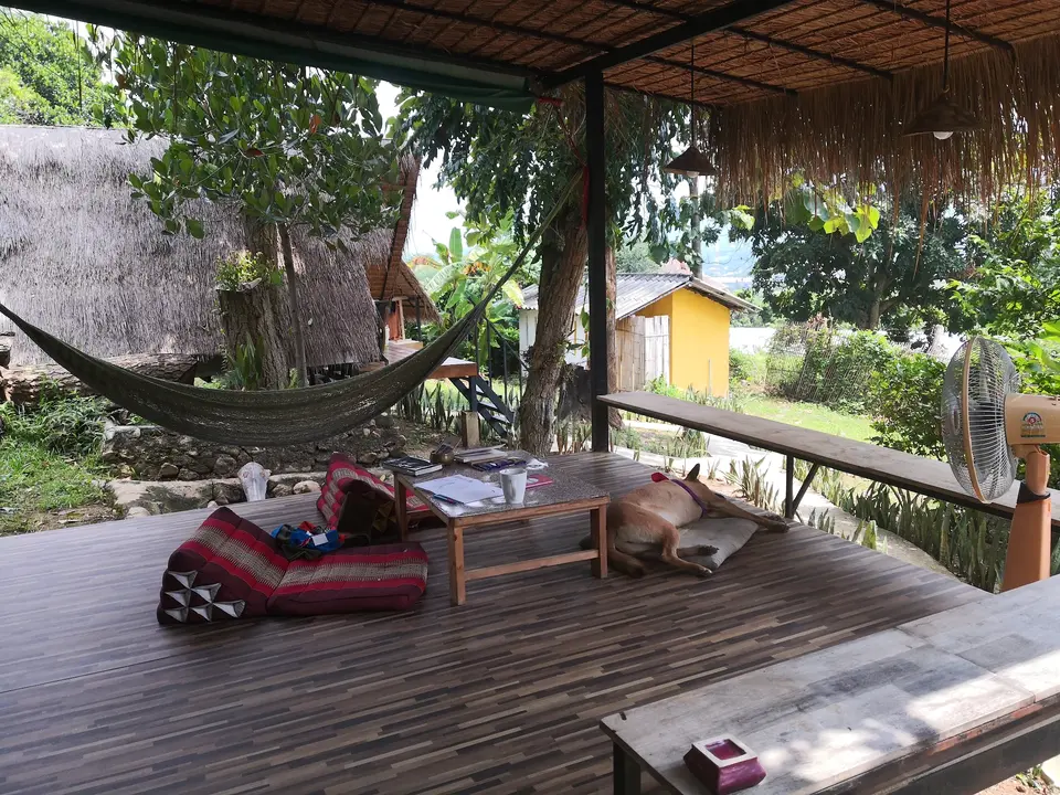
- Afternoon Back to the yard. Hammock, pool table, a cold drink from the fridge.
- Sunset Climb the stairs to the white Buddha at Wat Phra That Mae Yen (3.3 km, about 7 min).
- Evening The Walking Street (1.4 km, about 3 min) and a grilled cheese at Cheese Madness.
Day two: south side and the canyon
- Morning Walk the Bamboo Bridge at Pam Bok (9.7 km, about 17 min) before the heat.
- Midday Stop at the Tha Pai Memorial Bridge (8.7 km, about 15 min) on route 1095.
- Afternoon Hot springs south of town, or back to the yard for a slow few hours.
- Sunset Pai Canyon (7.0 km, about 13 min). Get there early for a place on the ridge.
- Night Back to the quiet side of town.
See it on the map
Tap a place to draw the road from the yard.
Roads, river and places from OpenStreetMap. Routes follow real roads (OSRM). Hills from Mapzen terrain data. Rings show straight line distance from the yard.
Quick answers
How many days do you need in Pai?
Two full days cover the main sights at a relaxed pace. Many guests stay longer: reviews mention stays from a few nights to a full month.
Sources: road distances calculated with OSRM on OpenStreetMap data on 13 November 2026; coordinates from OpenStreetMap. Scooter times are estimates: the OSRM driving time, or the distance at an average of 35 km/h when that is slower. Walking times assume 5 km/h. Fees and opening times are as reported by independent travel guides in 2026 and can change, so check on arrival.